Throughout the entire 2025 field season, Exploration Service implemented a large-scale geophysical project in the Chu-Sarysu Basin, aimed at identifying deep structures controlling the distribution of prospective targets.
A key feature of the project was the application of a unique integrated approach based on the combined use of Audio-Magnetotelluric (AMT), Magnetotelluric (MT), and profile gravity methods.
The integration of these techniques provided the most comprehensive understanding of the geological structure of the area — from near-surface horizons to deep regional formations.
Integrated Approach to Basin Structure Analysis
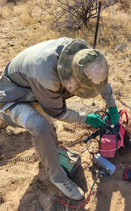
Audio-magnetotelluric surveying was applied for detailed investigation of the upper section, enabling the identification of local fault zones, areas of increased fracturing, and boundaries of lithological complexes.
Magnetotelluric sounding, in turn, made it possible to trace deep conductive and resistive structures, determine the position of major tectonic faults, and obtain information about the crustal structure at significant depths.
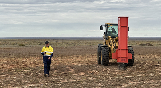
Profile gravity surveying was used to refine the geometry of structures, delineate density variations within rocks, and validate interpretations derived from AMT and MT data.
The integrated processing and interpretation of all three methods ensured significantly higher reliability of results compared to using each method independently.
Scope of Work
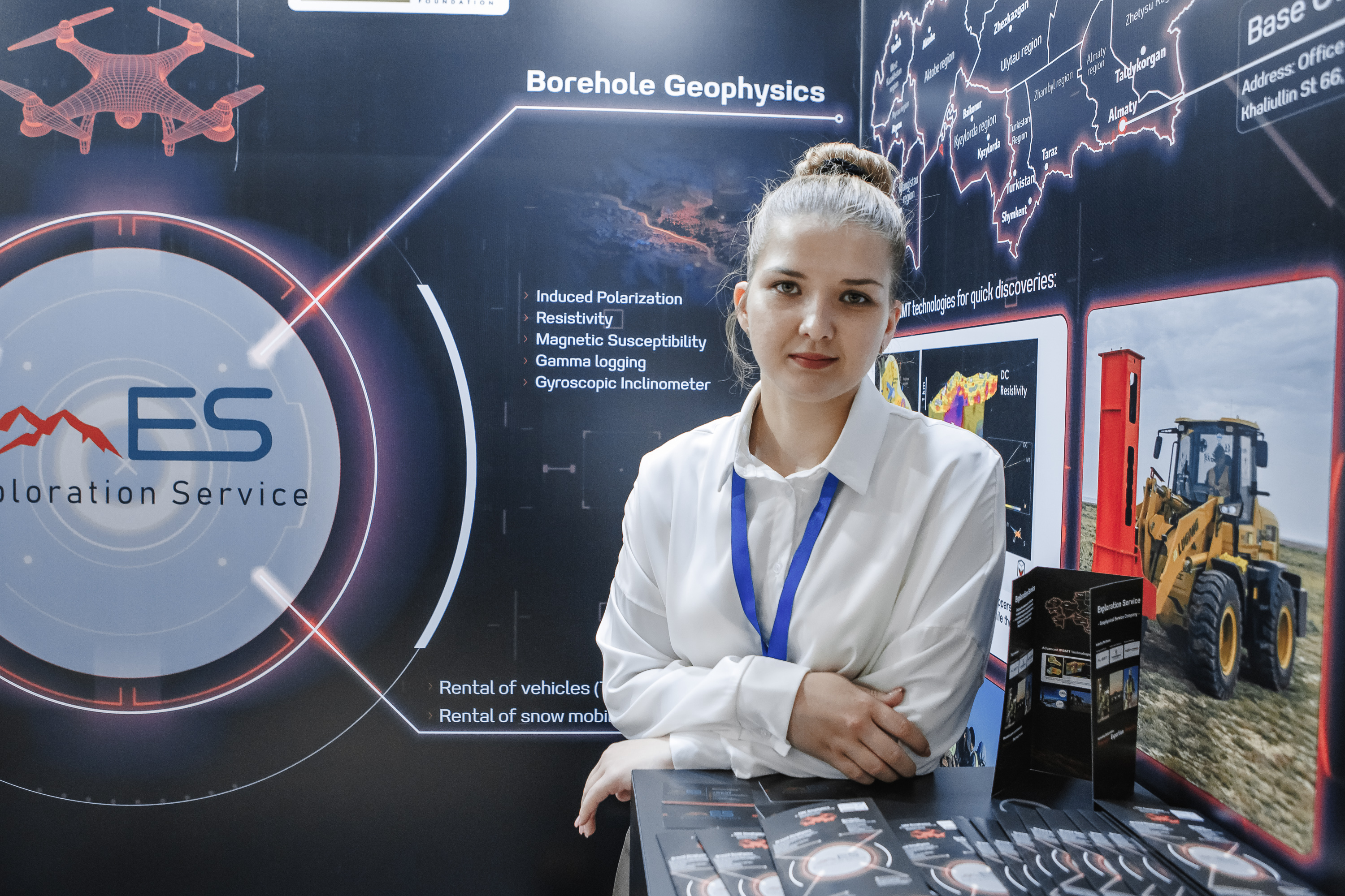
Field operations were carried out throughout the entire 2025 season and became one of the largest integrated geophysical projects implemented by the company in the region.
Within the framework of the project, the following was completed:
The large volume of measurements made it possible to develop a unified geophysical model of the study area and to establish relationships between near-surface and deep structures.
Project Results
As a result of the work, the main structural elements of the area were identified and refined, including deep fault zones, block structures, and zones of increased interest for further exploration.
Integration of AMT, MT, and profile gravity data made it possible to:
The implementation of this project confirmed the effectiveness of the integrated approach and demonstrated Exploration Service’s capability to carry out large-scale geophysical studies using advanced data processing and interpretation techniques.