Methodology and areas of application
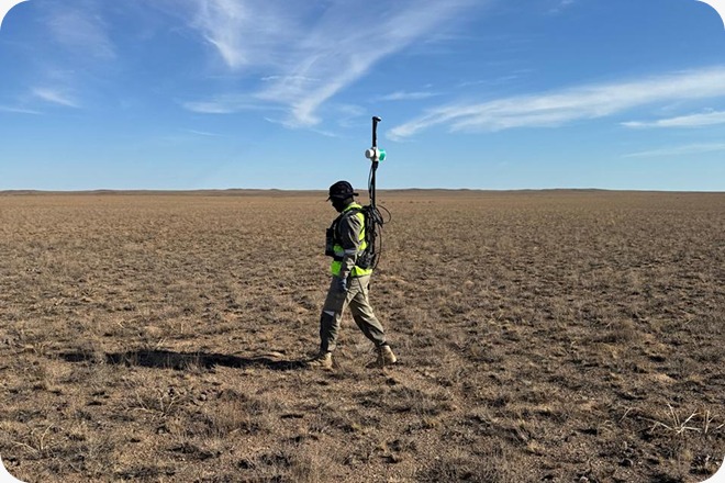
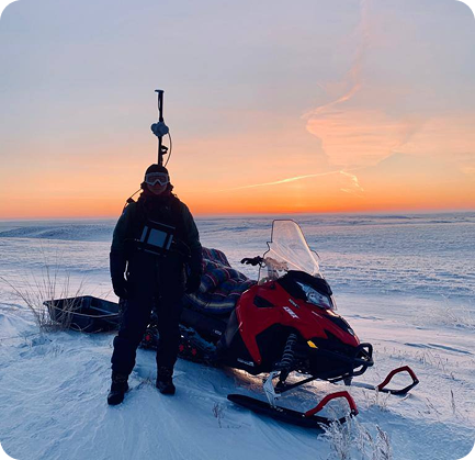
Surveys are carried out through high-precision measurements of the total magnetic field intensity and/or its components within defined profiles or areas. The high mobility and productivity of ground surveys allow for rapid detection of magnetic anomalies associated with intrusive bodies, metasomatic zones, banded iron formations, and other magnetically active targets.
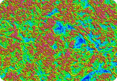
The method is widely used for structural mapping, fault tracing, and estimating the depth of geological objects. All data undergo comprehensive processing, including correction for magnetic field variations, enabling the creation of detailed anomaly maps and reliable geological interpretation.
Quality control and real-time data processing
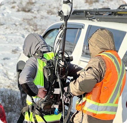
Exploration Service provides a full cycle of data processing using professional software Oasis Montaj. Our key advantage is a team of QA/QC and data processing experts who support the project in real time. This allows us to:
-
promptly identify and eliminate potential errors in field data
-
monitor survey completeness and quality
-
accelerate the interpretation process and decision-making
This approach ensures high-quality final results and reduces risks at all stages of geological exploration projects.