Gravity surveys

The method is based on measuring gravitational acceleration using precision gravimeters. During field operations, specialists perform high-accuracy measurements which, after applying necessary corrections (for latitude, elevation, and terrain), are transformed into gravity anomaly maps.

Gravity surveys are essential for delineating intrusive bodies, salt domes, fault zones, and identifying density contrasts in sedimentary basins. The results enable confident interpretation of structural features and prediction of prospective geological targets.

Get a consultation
Main methods of gravity surveys
Detailed area gravimetry

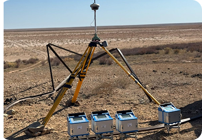
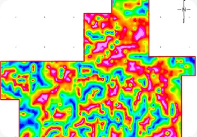
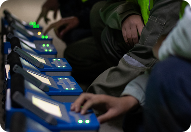
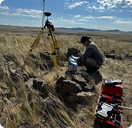
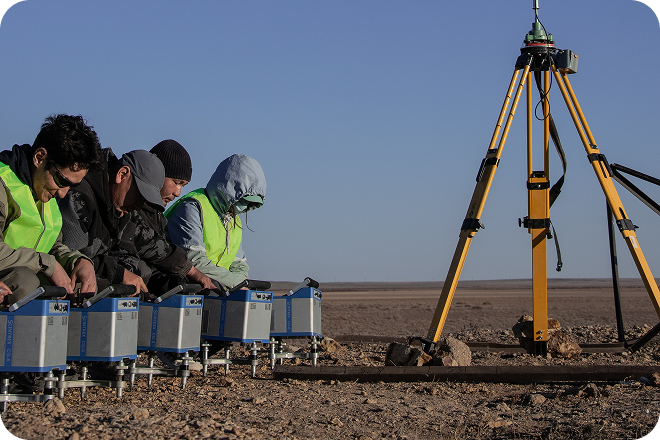
This method involves measurements over a regular grid of points to obtain the most reliable representation of density distribution. High survey accuracy ensures the detection of local anomalies associated with ore bodies or structural traps. The results are interpreted as Bouguer anomaly maps, which form the basis for 3D modeling of density properties.

Gravity profiling

This method is focused on studying sharp density variations along defined survey lines. Profiling is effective for tracing geological boundaries, fault zones, and contacts between different lithological units. It enables rapid quantitative estimation of object geometry and depth during exploration.

Gravity gradiometry

This technique involves measuring spatial derivatives of the gravitational field, providing high resolution in separating closely spaced anomalous bodies. Gradiometry minimizes the influence of regional background and noise, allowing clear identification of small density anomalies. The use of gradient data significantly improves the quality of detailed geological cross-sections and refines subsurface models.

Equipment and technical facilities

Precision gravimeters

The primary instrument is the high-precision Scintrex CG-6 Autograv gravimeter, featuring minimal drift and high measurement stability in field conditions. The instrument automatically compensates for microseismic effects and provides automated data acquisition with a high sampling rate.

Data processing and analysis systems

Field systems are complemented by specialized software Oasis Montaj for data processing, enabling efficient data reduction and the generation of derivative maps.

Need a consultation?

Leave a request, and our specialists will contact you for consultation and clarification of your objectives. We will provide the optimal solution considering the goals and specific features of the site.

By clicking the “Send” button, you agree to the Privacy Policy