Magnetotelluric sounding (MTS)

Magnetotelluric sounding (MTS), along with its high-frequency modification (AMT), is a powerful electromagnetic method for investigating the deep structure of the earth’s crust and its upper layers.

The method is based on the analysis of naturally occurring time-varying electromagnetic fields of the earth, enabling the acquisition of reliable data on the distribution of electrical resistivity at depths ranging from the first hundreds of meters to tens of kilometers.

Get a consultation
Methodology for reconnaissance operations

The essence of the method lies in the synchronous recording of variations in the natural electromagnetic field over a wide frequency range (from 0.0001 to 10,000 Hz).

Field operations include the deployment of magnetotelluric stations that record orthogonal components of the electric and magnetic fields. The acquired data undergo cross-spectral analysis to construct the impedance tensor, which serves as the basis for inversion and the development of deep geoelectrical models.

The technology is indispensable for the exploration of large ore deposits, the study of sedimentary basins, the identification of deep faults, and the mapping of conductive zones within the crystalline basement.

Main MTS methods
Broadband magnetotelluric sounding (MTS)

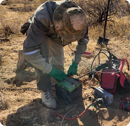
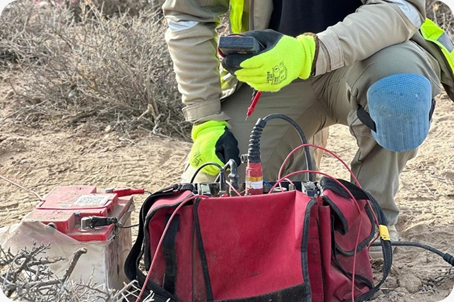
A classical technique aimed at studying the deep structure of the earth’s crust at depths of tens of kilometers. The method demonstrates exceptional efficiency in mapping large regional structures, identifying zones of metasomatism, and studying lithospheric blocks. MTS results serve as a foundation for building regional models that enable the prediction of prospective areas for more detailed geophysical surveys.

Audio-frequency magnetotelluric studies (AMT)

A high-frequency modification of the method focused on detailed investigation of the upper section (from the first hundreds of meters to several kilometers). AMT provides enhanced resolution, which is critical for detecting local ore bodies and mapping zones of hydrothermal alteration. The method effectively complements induced polarization (IP) electrical surveys, creating an integrated model of the structure of a prospective area.

Profile and areal MT surveys

Comprehensive observations combining profiling and areal measurements to construct three-dimensional geoelectrical models of the medium. Areal survey design makes it possible to trace spatial variations in resistivity in detail and to identify the geometric parameters of target objects. This approach ensures maximum reliability of interpretation while minimizing the influence of near-surface electromagnetic distortions.

Equipment and technical capabilities

Modern broadband digital systems are used for AMT/MTS surveys, ensuring high-precision measurements.

Multichannel data acquisition stations

High-tech systems such as Phoenix Geophysics MTU and Nord-A are used in field operations. The stations support synchronous recording over a wide frequency range and offer high autonomy when operating in remote and hard-to-access areas. Built-in high-precision GPS synchronization systems ensure excellent data quality required for reliable determination of impedance tensor parameters.

Precision field sensors

The system includes magnetic field induction sensors and specialized electrodes for measuring electrical components, characterized by an ultra-low level of intrinsic noise. The equipment used allows you to successfully conduct measurements even in the presence of significant industrial interference, ensuring a clean and informative signal for subsequent in-depth analysis.

Need a consultation?

Leave a request, and our specialists will contact you for consultation and clarification of your objectives. We will provide the optimal solution considering the goals and specific features of the site.

By clicking the “Send” button, you agree to the Privacy Policy